A question that repeatedly causes confusion: How many inhabitants does Brussels have? The figures range from around 200,000 to 1,250,000 – from a small major city to a metropolis. The answer is simple, yet also confusing and quite curious. Typically Belgian, in fact:
The districts of Brussels have retained their independence and, to this day, remain individual municipalities, even though they have grown seamlessly into one continuous city. To come straight to the point: 1,250,000 inhabitants is “correct”.
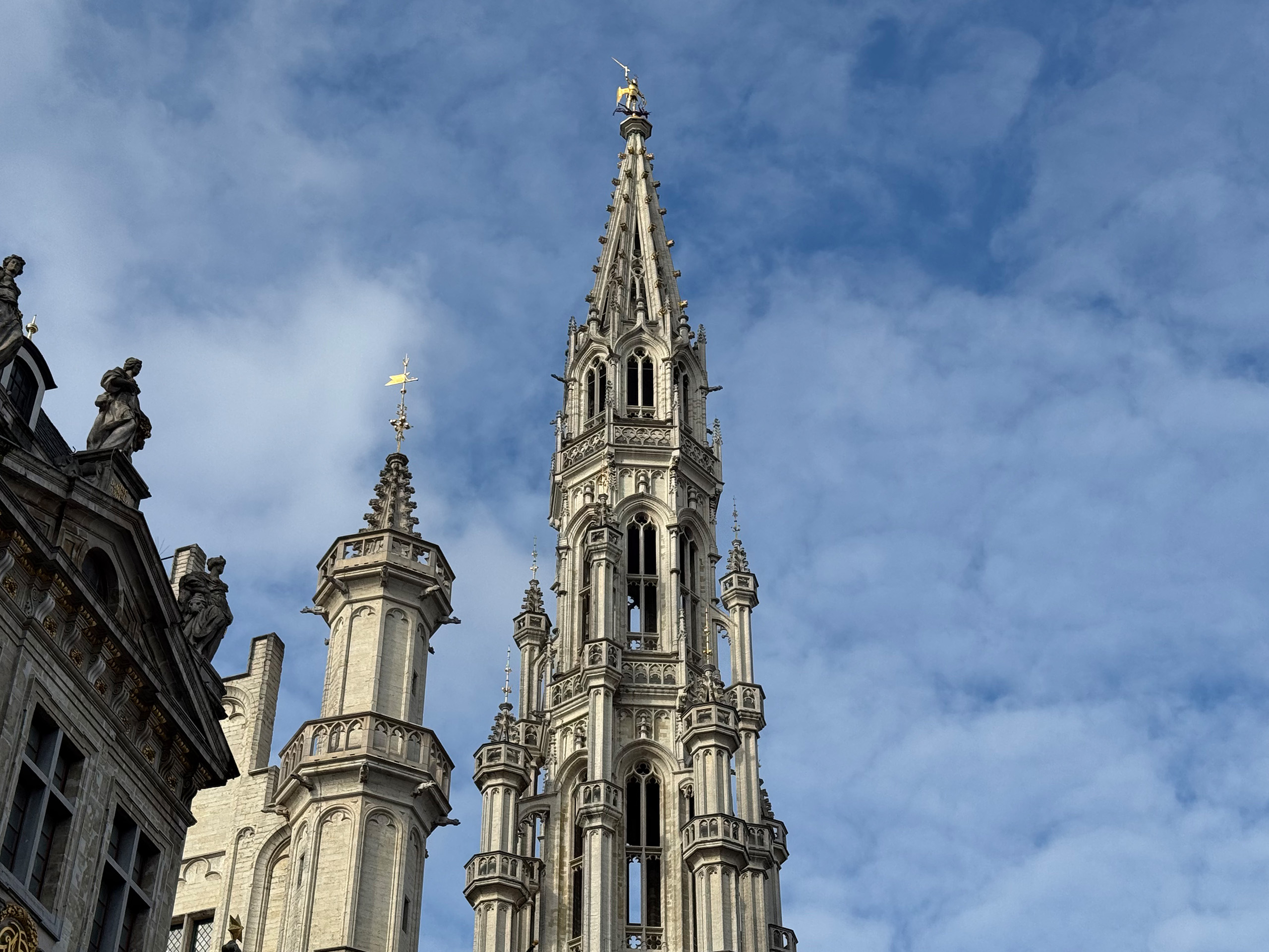
City of Brussels
The City of Brussels…
read more  Note: In this blog post, I use AI-generated photos – but nowhere else on this website. (At least not intentionally: most of the photos on visitbelgium.net are mine, but a few still come from Adobe Stock, where it’s not always clear whether AI was involved.)
AI Photos
Nowadays, it’s possible to create excellent “photos” using AI. In the tourism sector, however, AI images tend to fall somewhere between absurdly bad, kitschy, and very good – but often flawed in detail. Ultimately, they’re a complete no-go… read more
Note: In this blog post, I use AI-generated photos – but nowhere else on this website. (At least not intentionally: most of the photos on visitbelgium.net are mine, but a few still come from Adobe Stock, where it’s not always clear whether AI was involved.)
AI Photos
Nowadays, it’s possible to create excellent “photos” using AI. In the tourism sector, however, AI images tend to fall somewhere between absurdly bad, kitschy, and very good – but often flawed in detail. Ultimately, they’re a complete no-go… read more  Here’s a list of the 50 most internationally well-known Belgians who were born in Belgium (therefore, figures such as Pieter Bruegel the Elder or Peter Paul Rubens are not included). The list is sorted by year of birth.
Ambiorix
(1st century BC, Tongeren)
Leader of the Eburones tribe who resisted Julius Caesar’s Roman legions; a symbol of Belgian independence.
Jan van Eyck
(1390-1441, Maaseik)
Early Netherlandish painter and pioneer of oil painting, best known for the Ghent Altarpiece.
Johannes Ockeghem
(1410-1497, Saint-Ghislain)
Composer of the…
Here’s a list of the 50 most internationally well-known Belgians who were born in Belgium (therefore, figures such as Pieter Bruegel the Elder or Peter Paul Rubens are not included). The list is sorted by year of birth.
Ambiorix
(1st century BC, Tongeren)
Leader of the Eburones tribe who resisted Julius Caesar’s Roman legions; a symbol of Belgian independence.
Jan van Eyck
(1390-1441, Maaseik)
Early Netherlandish painter and pioneer of oil painting, best known for the Ghent Altarpiece.
Johannes Ockeghem
(1410-1497, Saint-Ghislain)
Composer of the… 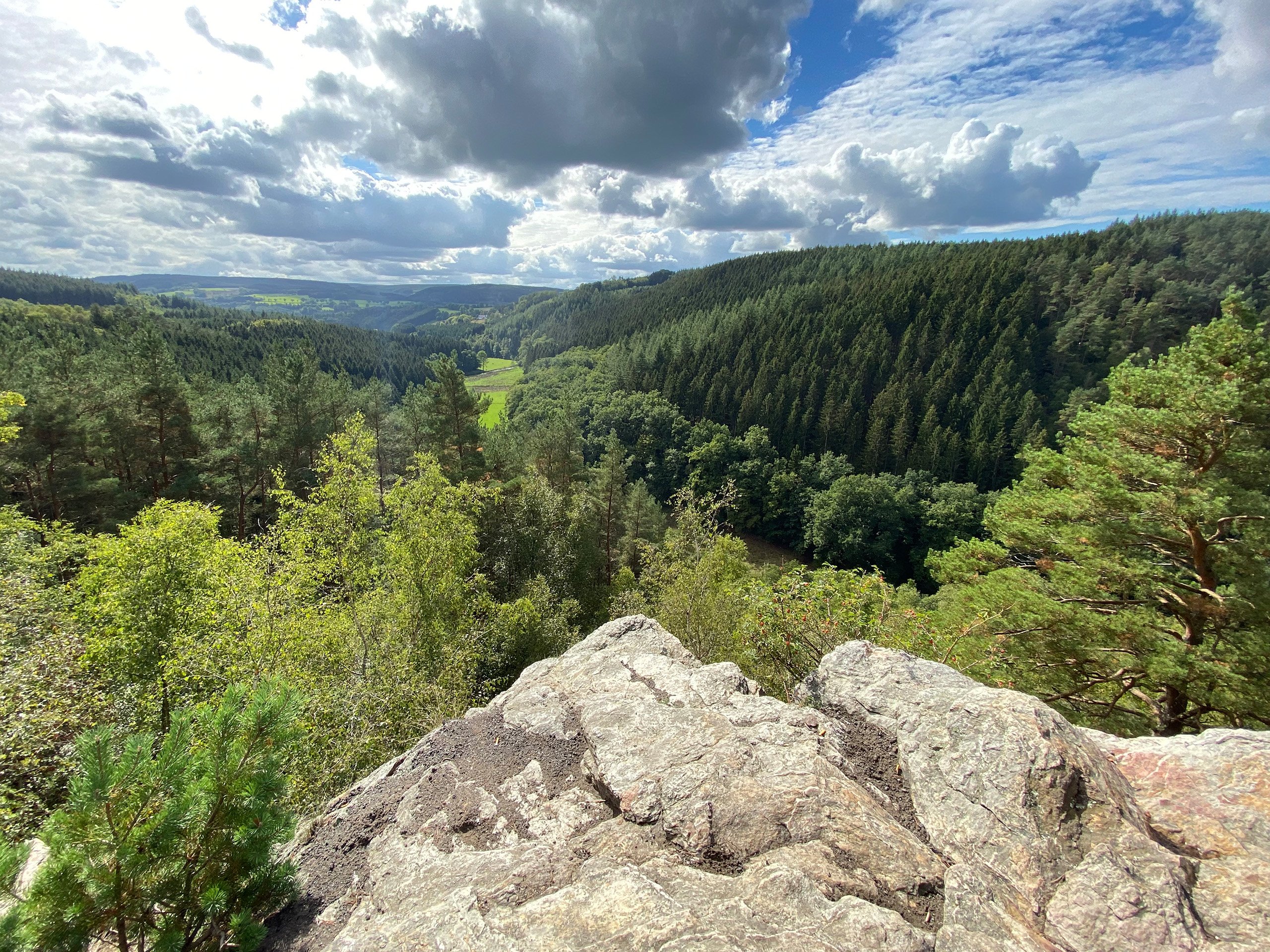 Is Belgium really the “flat land” sung about in Jacques Brel’s famous chanson, the image that many people conjure up when they think of the small state in Western Europe?
The answer is – like so often – a clear “yes and no”.
In his song, Brel mainly evokes West Flanders, with its wide plains along the coast and inland, where fields, canals, and ruler-straight roads dominate the landscape. There, the image of flat expanses is indeed accurate. But for the whole country, the description…
Is Belgium really the “flat land” sung about in Jacques Brel’s famous chanson, the image that many people conjure up when they think of the small state in Western Europe?
The answer is – like so often – a clear “yes and no”.
In his song, Brel mainly evokes West Flanders, with its wide plains along the coast and inland, where fields, canals, and ruler-straight roads dominate the landscape. There, the image of flat expanses is indeed accurate. But for the whole country, the description…  This topic often causes confusion. It can generally be very simplified: Belgium lies between the Netherlands in the north and France in the south. The language border between Dutch and French runs horizontally through the center of Belgium. The capital Brussels, in the center of the country, is bilingual.
Capital (Brussels): Belgian French and Belgian Dutch
As the Belgian capital, centrally located in Belgium, Brussels (1.2 million inhabitants) is officially bilingual. Around 80% use Belgian French in everyday life, 20% Belgian Dutch.
North Belgium (Flanders):…
This topic often causes confusion. It can generally be very simplified: Belgium lies between the Netherlands in the north and France in the south. The language border between Dutch and French runs horizontally through the center of Belgium. The capital Brussels, in the center of the country, is bilingual.
Capital (Brussels): Belgian French and Belgian Dutch
As the Belgian capital, centrally located in Belgium, Brussels (1.2 million inhabitants) is officially bilingual. Around 80% use Belgian French in everyday life, 20% Belgian Dutch.
North Belgium (Flanders):… 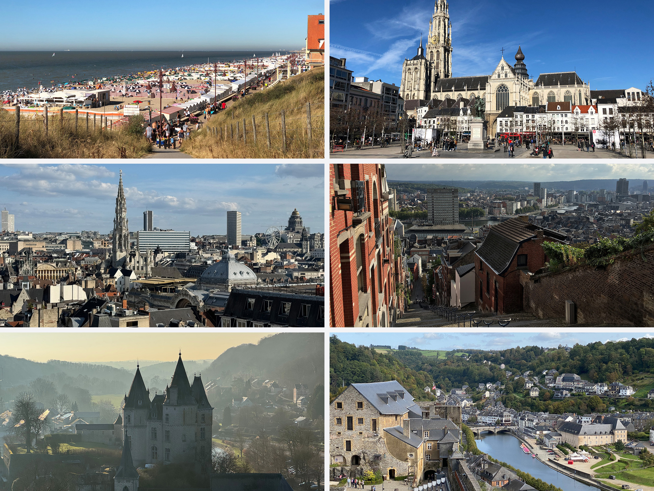 Large countries are characterized by their diverse landscapes and cities with distinct personalities. Belgium, however, is small: driving from north to south (Antwerp to Arlon) takes about 2.75 hours, while crossing from east to west (Eupen to Ostend) takes roughly 2.5 hours.
Despite its compact size of 30,000 square kilometers, Belgium offers an extraordinary variety: from fine sandy beaches along the North Sea coast, through the flat but water-rich region of Flanders, to the rolling hills of Wallonia, which are carved by deep river valleys.…
Large countries are characterized by their diverse landscapes and cities with distinct personalities. Belgium, however, is small: driving from north to south (Antwerp to Arlon) takes about 2.75 hours, while crossing from east to west (Eupen to Ostend) takes roughly 2.5 hours.
Despite its compact size of 30,000 square kilometers, Belgium offers an extraordinary variety: from fine sandy beaches along the North Sea coast, through the flat but water-rich region of Flanders, to the rolling hills of Wallonia, which are carved by deep river valleys.…