Anyone traveling by train from Brussels towards Germany reaches, after just under an hour and a half, a Belgian region that many visitors would never expect to find in Belgium: an area where German is the official language. Welcome to the German-speaking Community of Belgium, or Ostbelgien (East Belgium).
Located between the borders of Germany, Luxembourg, and the Netherlands, around 80,000 people live here across nine municipalities. The center is Eupen, a charming town of about 20,000 inhabitants that also serves as the capital. From here, the German city of Aachen is only a few kilometers away and can even be reached by regular bus service. At the same time, direct train connections link Eupen with Brussels, Bruges, and even the Belgian North Sea coast.
This location is precisely what makes the region so unique: linguistically, you are in the German-speaking world; geographically, you are in Belgium; and culturally, you are at a European crossroads.
The German spoken in East Belgium is very close to Standard German but has some regional dialectal influences. The local dialects, collectively called Ripuarian and Moselle Franconian, are linguistically distinct from Standard German and share features with dialects spoken in western Germany.
Do Germans live there?
Yes, but only those who have immigrated. In Raeren, on the border with Aachen, they make up almost half of the population. Otherwise, the German-speaking people are Belgians.
Until the end of the First World War, Eupen, St. Vith, and the surrounding municipalities belonged to the German Empire. It was only in 1920 that these territories became Belgian as a result of the Treaty of Versailles. The language, however, remained the same. More than a century later, most residents still speak German, but they are, of course, Belgians – not only on paper, but also at heart.
The nine Municipalities of East Belgium
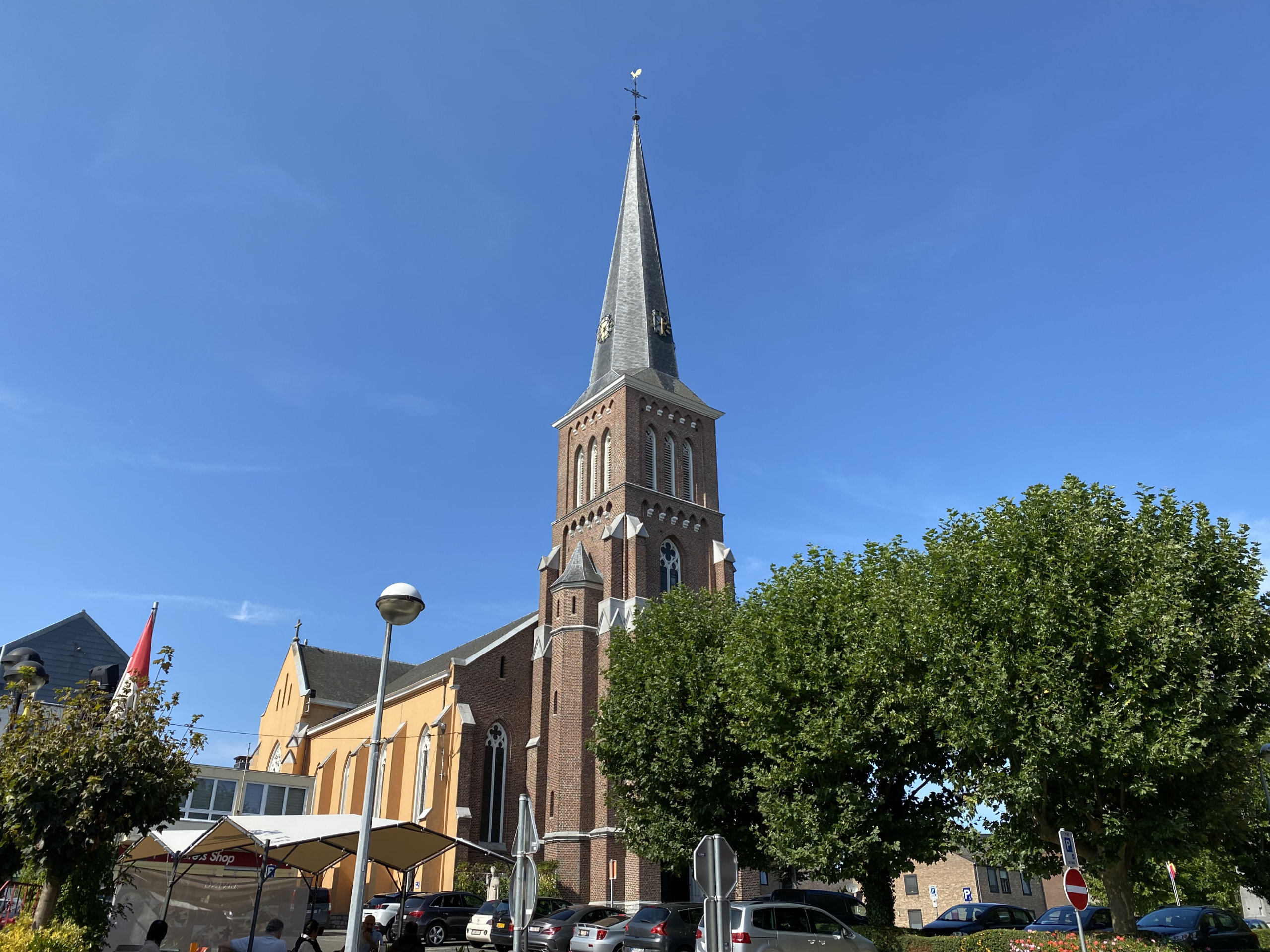
The German-speaking Community consists of the municipalities of Amel, Büllingen, Burg-Reuland, Bütgenbach, Eupen, Kelmis, Lontzen, Raeren, and St. Vith.
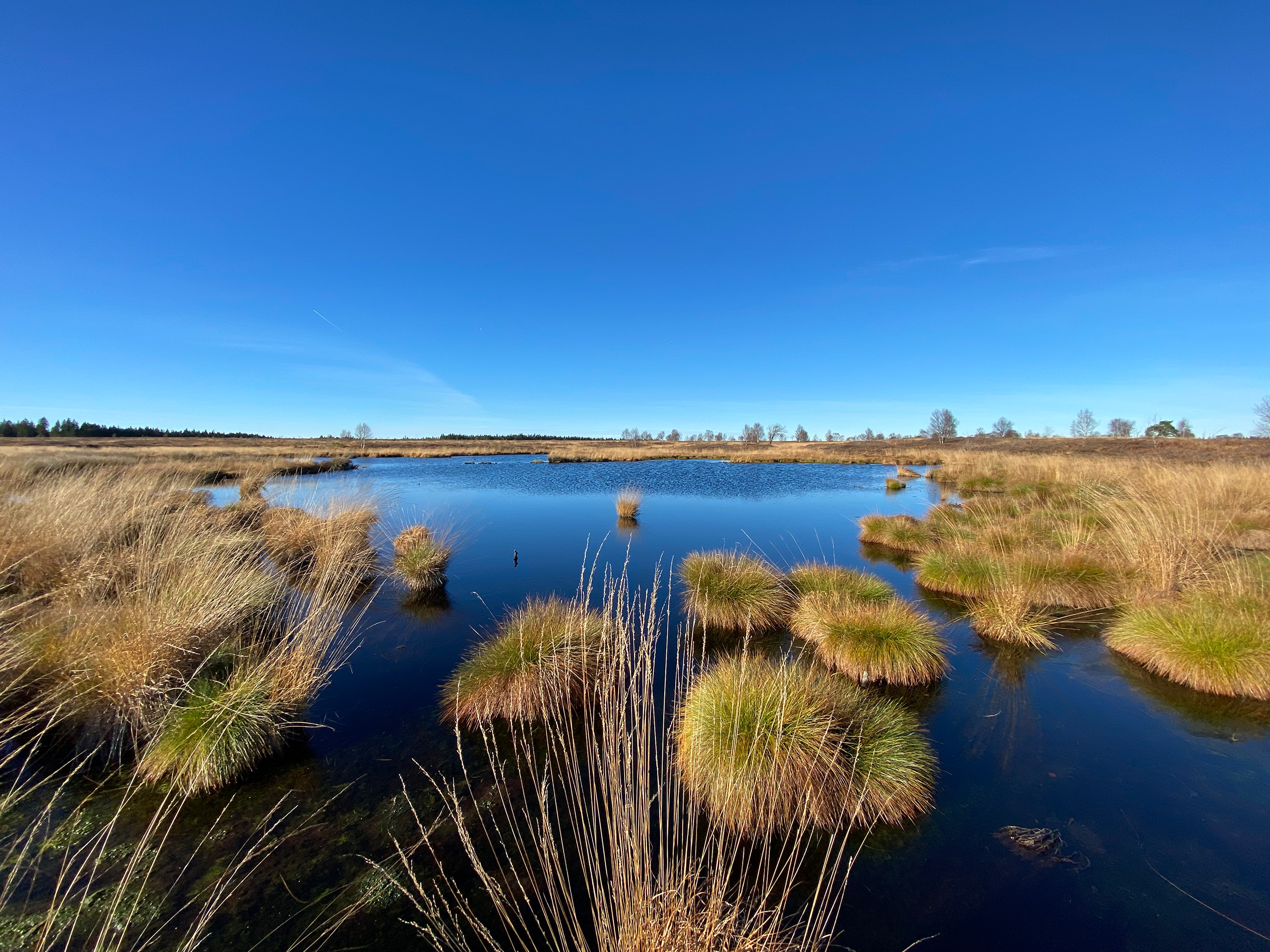
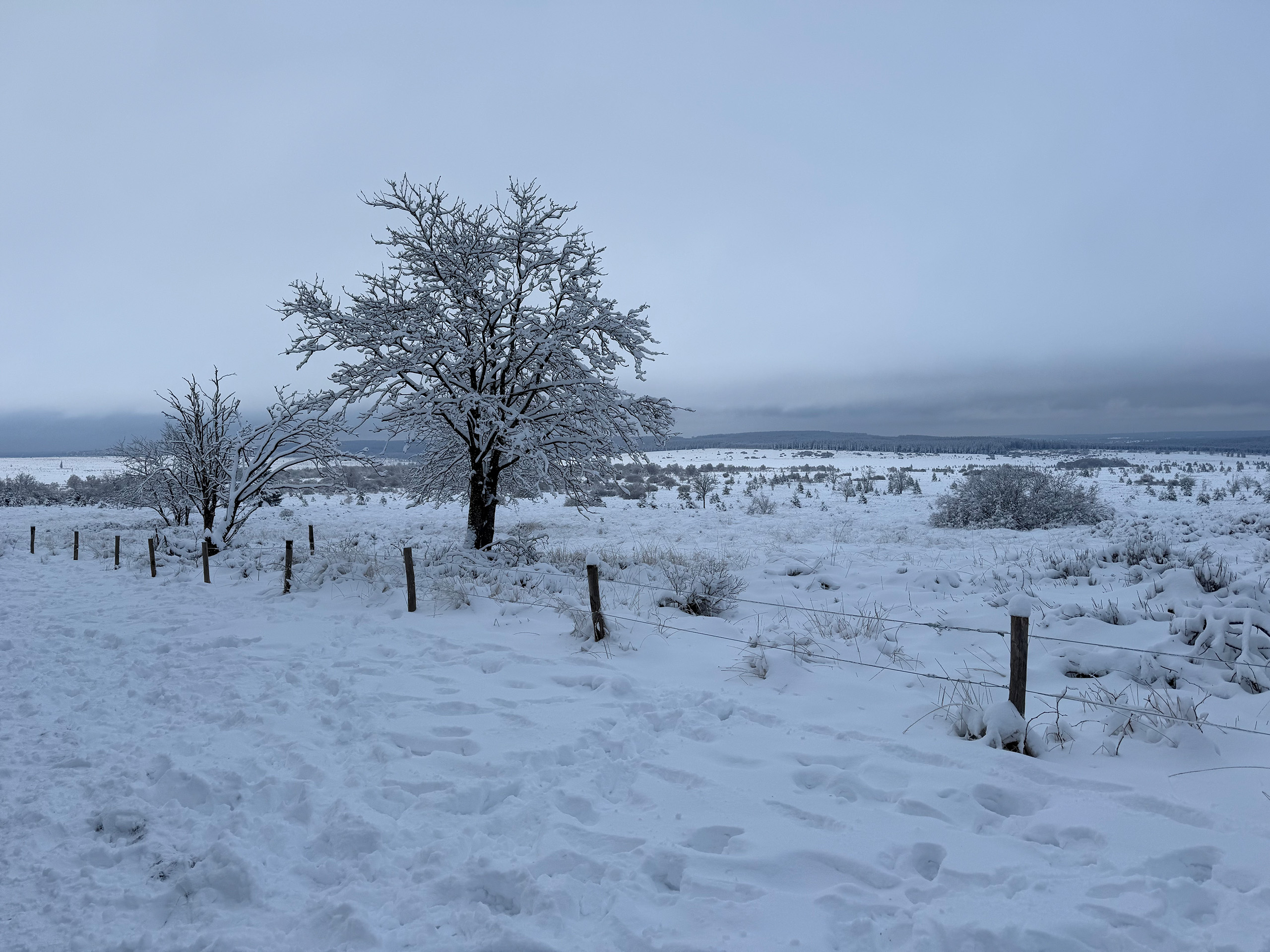
The northern and southern parts of the region differ considerably. The north, around Eupen, Kelmis, and Raeren, is more urban in character and closely connected to Aachen. In the south, vast landscapes, forests, and the high plateaus of the Eifel dominate the scenery. Here, hikers, cyclists, and nature lovers will find beautiful natural areas.
Smallest Community, remarkable Autonomy
Many visitors are surprised to learn that East Belgium is much more than simply a linguistic region. The German-speaking Community has its own parliament and government, with responsibilities that include education, culture, and parts of social policy. For a region with fewer inhabitants than some medium-sized European cities, this is quite remarkable. This political autonomy plays a significant role in preserving the German language in Belgium.
Multilingualism as everyday Life
Anyone traveling through East Belgium experiences Belgium in a particularly European form. German is the everyday language, French plays an important role, and thanks to the proximity of Germany, Luxembourg, and the Netherlands, speaking multiple languages is a completely normal part of daily life for many people. Perhaps this is exactly what makes the region so appealing: East Belgium is not located on the edge of Europe, but at its very heart. Different European cultures meet here without losing their individual identities.
Complicated yet uncomplicated
If someone claims that Belgium is complicated, they should visit East Belgium. A German-speaking region in French-speaking Wallonia, within trilingual Belgium, bordered by Germany, Luxembourg, and the Netherlands. There are not many places in the world where you can order real Belgian fries and be served in German.
And of course, you can’t visit East Belgium without encountering some border oddities:
Kelmis is located in the German-speaking Community (though it is officially bilingual in German and French) in the Belgium-Germany-Netherlands border triangle. In the 19th century, a small territory called Neutral Moresnet existed here, born out of a dispute over a zinc deposit. Neither Prussia nor the Netherlands could agree on ownership – so a neutral state was created. It had its own administrative structures, its own stamps, and even ambitious plans to turn the territory into an Esperanto state. Only after the First World War did Neutral Moresnet become part of Belgium.
The so-called Vennbahn, once a railway line, belongs entirely to Belgium – even where it runs through Germany. Along the route, small German territories emerge that are cut off from the rest of the country. This situation dates back to the reorganization of Europe after the First World War, when Belgium gained control of the railway line – and thus of the entire strip of land on which it lay. Today, the Vennbahn is a popular cycling path.
In the German town of Roetgen, the Belgian border runs right through the town. On one side of the road is Germany, on the other, Belgium. This can be handy if you want to go shopping on a Sunday.
Grenzgänger
Many people from East Belgium work in Germany, particularly in Aachen; many Germans have moved to East Belgium. Many people from East Belgium shop in Germany, where some things are cheaper; many Germans shop in East Belgium, where other things are cheaper and many shops are open on Sundays. Belgian petrol stations are particularly popular at times.
The German word „Grenzgänger“ cannot simply be translated as „cross-border workers“, it literally means „those who cross borders“.

 © VisitBelgium.net
 © VisitBelgium.net
 © VisitBelgium.net
 © VisitBelgium.net
 © VisitBelgium.net
 © VisitBelgium.net